Ochiltree Railway Station
Introduction
The photograph on this page of Ochiltree Railway Station by Raymond Okonski as part of the Geograph project.
The Geograph project started in 2005 with the aim of publishing, organising and preserving representative images for every square kilometre of Great Britain, Ireland and the Isle of Man.

There are currently over 7.5m images from over 14,400 individuals and you can help contribute to the project by visiting https://www.geograph.org.uk
Ochiltree Railway Station
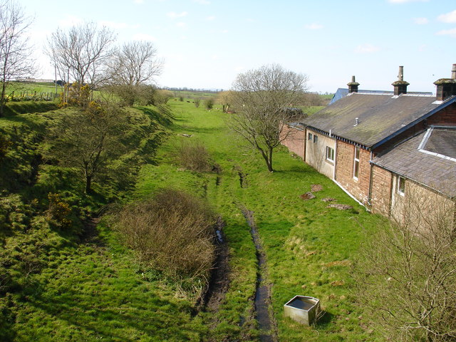
Image: © Raymond Okonski Taken: 12 Apr 2007
Although situated some 2Km south of the town, this station - on a narrow country road - was the nearest the line got to this centre of population, and ran from Ayr via Holehouse Junction, through Rankinston, Sinclairston through Ochiltree, Skares to Old Cumnock. The line, which was part of the Glasgow & South Western Railway was opened in 1870 and was finally closed to all traffic in 1950. The station building has been added and extended, and is a private house.
Images are licensed for reuse under creativecommons.org/licenses/by-sa/2.0
Image Location
Latitude
55.441798
Longitude
-4.355832