Ruined chapel
Introduction
The photograph on this page of Ruined chapel by Philip Halling as part of the Geograph project.
The Geograph project started in 2005 with the aim of publishing, organising and preserving representative images for every square kilometre of Great Britain, Ireland and the Isle of Man.

There are currently over 7.5m images from over 14,400 individuals and you can help contribute to the project by visiting https://www.geograph.org.uk
Ruined chapel
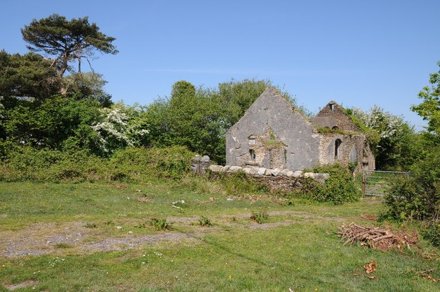
Image: © Philip Halling Taken: 17 May 2014
The remains of a ruined chapel, the plaque below the gable reads Carmel and a date or 1885. The decline of this chapel into dereliction has been recorded on this website. Image] Image]
Images are licensed for reuse under creativecommons.org/licenses/by-sa/2.0
Image Location
Latitude
51.621491
Longitude
-4.091346