Auchencloigh Castle (Ruin)
Introduction
The photograph on this page of Auchencloigh Castle (Ruin) by Raymond Okonski as part of the Geograph project.
The Geograph project started in 2005 with the aim of publishing, organising and preserving representative images for every square kilometre of Great Britain, Ireland and the Isle of Man.

There are currently over 7.5m images from over 14,400 individuals and you can help contribute to the project by visiting https://www.geograph.org.uk
Auchencloigh Castle (Ruin)
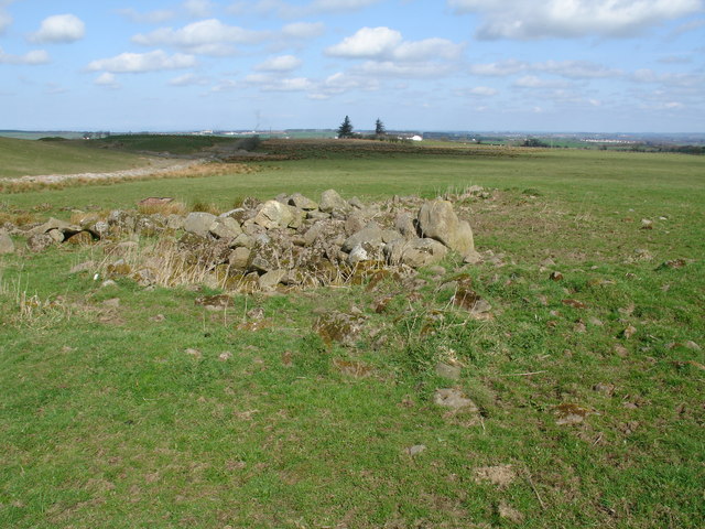
Image: © Raymond Okonski Taken: 12 Apr 2007
A few fallen fragments are all that remain of the C16th tower that was built on a small rise above the burn. Now reduced to a pile of rubble, even the nearby farmhouse that shares its name suffered a similar fate. The ground nearby (former opencast coal workings) meant the buildings were not treated with respect, is being returned to agricultural grazing land.
Images are licensed for reuse under creativecommons.org/licenses/by-sa/2.0
Image Location
Latitude
55.421106
Longitude
-4.380043