The Beltoy Road near Carrickfergus
Introduction
The photograph on this page of The Beltoy Road near Carrickfergus by Albert Bridge as part of the Geograph project.
The Geograph project started in 2005 with the aim of publishing, organising and preserving representative images for every square kilometre of Great Britain, Ireland and the Isle of Man.

There are currently over 7.5m images from over 14,400 individuals and you can help contribute to the project by visiting https://www.geograph.org.uk
The Beltoy Road near Carrickfergus
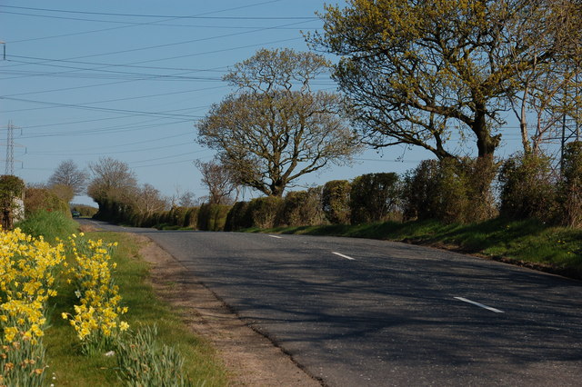
Image: © Albert Bridge Taken: 12 Apr 2007
The Beltoy Road runs off the Carrickfergus – Larne road at Eden and forms part of the back road to Larne. The overhead electricity cables are common here with Kilroot power station Image near the bottom of the road and Ballylumford Image power station not too far away.
Images are licensed for reuse under creativecommons.org/licenses/by-sa/2.0
Image Location


Leaflet Map data © OpenStreetMap
Latitude
54.732995
Longitude
-5.773017