Horsington Turnpike Gate
Introduction
The photograph on this page of Horsington Turnpike Gate by Mike Searle as part of the Geograph project.
The Geograph project started in 2005 with the aim of publishing, organising and preserving representative images for every square kilometre of Great Britain, Ireland and the Isle of Man.

There are currently over 7.5m images from over 14,400 individuals and you can help contribute to the project by visiting https://www.geograph.org.uk
Horsington Turnpike Gate
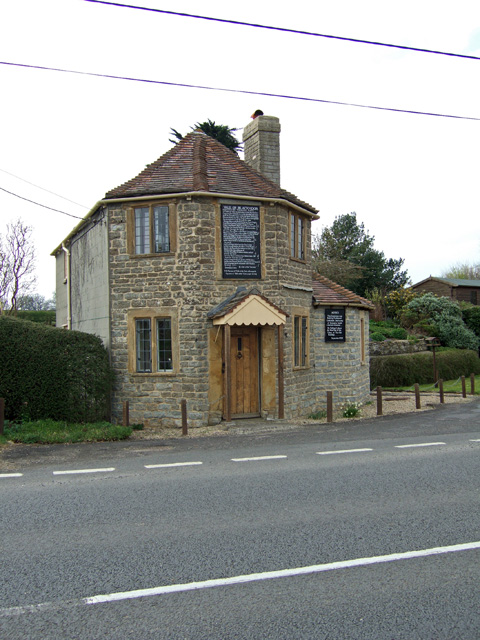
Image: © Mike Searle Taken: 11 Apr 2007
Restored 'Horsington' Toll House on the old turnpike road (now the A357) at South Cheriton. Dating from circa 1824, the building is Grade II listed.
Images are licensed for reuse under creativecommons.org/licenses/by-sa/2.0
Image Location


Leaflet Map data © OpenStreetMap
Latitude
51.022551
Longitude
-2.440085