Sterns, Severn Valley Railway
Introduction
The photograph on this page of Sterns, Severn Valley Railway by David P Howard as part of the Geograph project.
The Geograph project started in 2005 with the aim of publishing, organising and preserving representative images for every square kilometre of Great Britain, Ireland and the Isle of Man.

There are currently over 7.5m images from over 14,400 individuals and you can help contribute to the project by visiting https://www.geograph.org.uk
Sterns, Severn Valley Railway
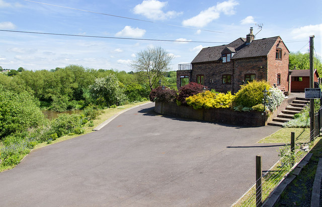
Image: © David P Howard Taken: 15 May 2014
This is the closest approach of the Severn Valley Railway to the River Severn, which can just be seen centre left. The line is subject to landslips in this area and the speed limit is subsequently 15 mph.
Images are licensed for reuse under creativecommons.org/licenses/by-sa/2.0
Image Location
Latitude
52.493752
Longitude
-2.394097