Ketch roundabout development
Introduction
The photograph on this page of Ketch roundabout development by Andrew Darge as part of the Geograph project.
The Geograph project started in 2005 with the aim of publishing, organising and preserving representative images for every square kilometre of Great Britain, Ireland and the Isle of Man.

There are currently over 7.5m images from over 14,400 individuals and you can help contribute to the project by visiting https://www.geograph.org.uk
Ketch roundabout development
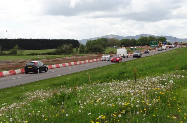
Image: © Andrew Darge Taken: 6 May 2014
Removal of trees bordering the A4440 has give a clearer view of the Malverns
Images are licensed for reuse under creativecommons.org/licenses/by-sa/2.0
Image Location
Latitude
52.163824
Longitude
-2.214716