Recreation ground near Riding Lane
Introduction
The photograph on this page of Recreation ground near Riding Lane by Marathon as part of the Geograph project.
The Geograph project started in 2005 with the aim of publishing, organising and preserving representative images for every square kilometre of Great Britain, Ireland and the Isle of Man.

There are currently over 7.5m images from over 14,400 individuals and you can help contribute to the project by visiting https://www.geograph.org.uk
Recreation ground near Riding Lane
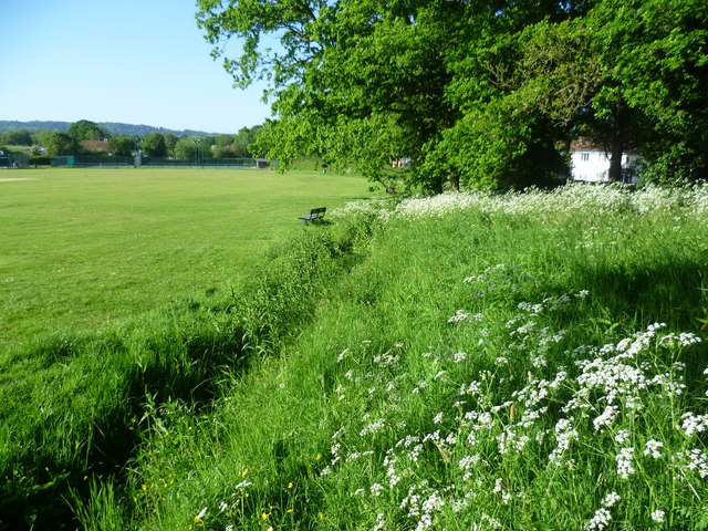
Image: © Marathon Taken: 18 May 2014
This recreation ground is just off Riding Lane and has a convenient car park. The woods of the Greensand Ridge can be seen in the distance.
Images are licensed for reuse under creativecommons.org/licenses/by-sa/2.0
Image Location
Latitude
51.219063
Longitude
0.242132