Uidh Bhatarsaigh
Introduction
The photograph on this page of Uidh Bhatarsaigh by Rude Health as part of the Geograph project.
The Geograph project started in 2005 with the aim of publishing, organising and preserving representative images for every square kilometre of Great Britain, Ireland and the Isle of Man.

There are currently over 7.5m images from over 14,400 individuals and you can help contribute to the project by visiting https://www.geograph.org.uk
Uidh Bhatarsaigh
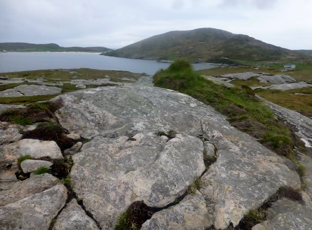
Image: © Rude Health Taken: 8 May 2014
Fifth coastal TuMP on Vatersay on a lovely morning with Iain Brown and Martin Richardson. Name: Uidh Bhatarsaigh Hill number: 12712 Height: 48m / 157ft Parent (Ma/M): 1633 Theiseabhal Mor [Heishival Mor] Area: 24D: Barra to Barra Head Class: 0 Grid ref: NL651959 (est) Drop: 41m Col: 7m NL647961
Images are licensed for reuse under creativecommons.org/licenses/by-sa/2.0
Image Location
Latitude
56.9329
Longitude
-7.507291