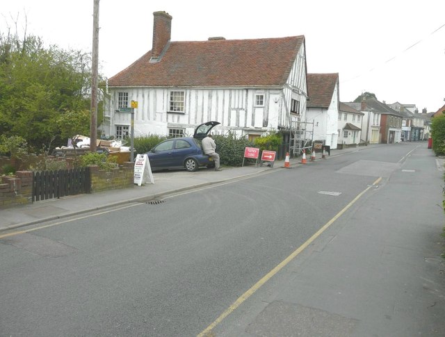
Looking west-northwest along the High Street
Introduction
The photograph on this page of Looking west-northwest along the High Street by John Baker as part of the Geograph project.
The Geograph project started in 2005 with the aim of publishing, organising and preserving representative images for every square kilometre of Great Britain, Ireland and the Isle of Man.
There are currently over 7.5m images from over 14,400 individuals and you can help contribute to the project by visiting https://www.geograph.org.uk

Image: © John Baker Taken: 4 Apr 2014
On the left is Jacobes Hall (sometimes spelt Jacobs) a grade I listed hall house dating from the 15th century, that was restored about 1919 http://www.britishlistedbuildings.co.uk/en-120174-jacobes-hall-brightlingsea-essex A road closed sign and another directing pedestrians into the High Street have been placed on the pavement, traffic cones have been placed along the edge of the pavement and scaffolding along the front of the building. It looked to me that a window, behind the scaffolding, was having new wood spliced into its frame.

