Rednal - Groveley Lane and The Oak Tree
Introduction
The photograph on this page of Rednal - Groveley Lane and The Oak Tree by Flying Stag as part of the Geograph project.
The Geograph project started in 2005 with the aim of publishing, organising and preserving representative images for every square kilometre of Great Britain, Ireland and the Isle of Man.

There are currently over 7.5m images from over 14,400 individuals and you can help contribute to the project by visiting https://www.geograph.org.uk
Rednal - Groveley Lane and The Oak Tree
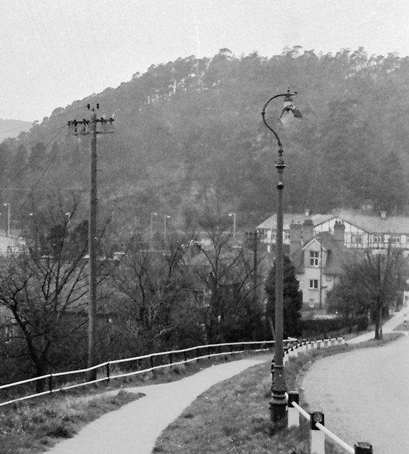
Image: © Flying Stag Taken: Unknown
This pub lies at the foot of the heavily wooded Rednal Hill, one of a group of three which form the Lickey Hills. The Birmingham City boundary lies just a few yards off to the right.
Images are licensed for reuse under creativecommons.org/licenses/by-sa/2.0
Image Location
Latitude
52.381674
Longitude
-2.001425