Crossing of the wheels
Introduction
The photograph on this page of Crossing of the wheels by Neil Owen as part of the Geograph project.
The Geograph project started in 2005 with the aim of publishing, organising and preserving representative images for every square kilometre of Great Britain, Ireland and the Isle of Man.

There are currently over 7.5m images from over 14,400 individuals and you can help contribute to the project by visiting https://www.geograph.org.uk
Crossing of the wheels
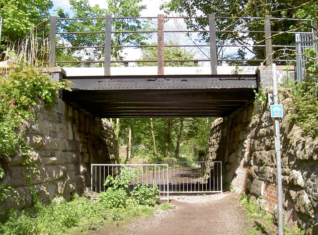
Image: © Neil Owen Taken: 13 May 2014
Above: the old G.W.R railway line (Radstock branch), below: a footpath and National Cycle Route 24. See Image] for a closer look at the bridge structure and Image] for a benchmark hereabouts on the lefthand walling.
Images are licensed for reuse under creativecommons.org/licenses/by-sa/2.0
Image Location
Latitude
51.232197
Longitude
-2.316332