Queensway houses, Garnlydan
Introduction
The photograph on this page of Queensway houses, Garnlydan by Jaggery as part of the Geograph project.
The Geograph project started in 2005 with the aim of publishing, organising and preserving representative images for every square kilometre of Great Britain, Ireland and the Isle of Man.

There are currently over 7.5m images from over 14,400 individuals and you can help contribute to the project by visiting https://www.geograph.org.uk
Queensway houses, Garnlydan
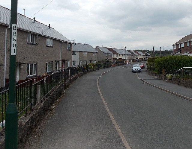
Image: © Jaggery Taken: 16 May 2014
Out of shot, several side streets connect to Queensway which follows a roughly horseshoe-shaped course on the west side of Llangynidr Road. There are two junctions with Llangyndir Road, about 250 metres apart, at the two ends of the horseshoe.
Images are licensed for reuse under creativecommons.org/licenses/by-sa/2.0
Image Location
Latitude
51.803269
Longitude
-3.211812