The Tufton Arms
Introduction
The photograph on this page of The Tufton Arms by Natasha Ceridwen de Chroustchoff as part of the Geograph project.
The Geograph project started in 2005 with the aim of publishing, organising and preserving representative images for every square kilometre of Great Britain, Ireland and the Isle of Man.

There are currently over 7.5m images from over 14,400 individuals and you can help contribute to the project by visiting https://www.geograph.org.uk
The Tufton Arms
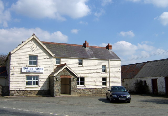
Image: © Natasha Ceridwen de Chroustchoff Taken: 11 Apr 2007
Pub situated on the B4329, between Cardigan and Haverfordwest, at Tufton, where minor roads, east from Puncheston, west from Henry's Moat, meet at a crossroads. The facade of the building appears to be slate-hung and rendered, giving it a rather unusual appearance.
Images are licensed for reuse under creativecommons.org/licenses/by-sa/2.0
Image Location
Latitude
51.916867
Longitude
-4.85035