The Bronte Way above Dean House Farm
Introduction
The photograph on this page of The Bronte Way above Dean House Farm by Karl and Ali as part of the Geograph project.
The Geograph project started in 2005 with the aim of publishing, organising and preserving representative images for every square kilometre of Great Britain, Ireland and the Isle of Man.

There are currently over 7.5m images from over 14,400 individuals and you can help contribute to the project by visiting https://www.geograph.org.uk
The Bronte Way above Dean House Farm
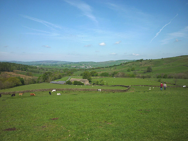
Image: © Karl and Ali Taken: 17 May 2014
The Way (one of several named 'ways' in the area) climbs out of the valley of Wycoller Beck into pastureland grazed by sheep and cattle.
Images are licensed for reuse under creativecommons.org/licenses/by-sa/2.0
Image Location
Latitude
53.841902
Longitude
-2.090389