New Development, Henfield Road, Albourne
Introduction
The photograph on this page of New Development, Henfield Road, Albourne by Simon Carey as part of the Geograph project.
The Geograph project started in 2005 with the aim of publishing, organising and preserving representative images for every square kilometre of Great Britain, Ireland and the Isle of Man.

There are currently over 7.5m images from over 14,400 individuals and you can help contribute to the project by visiting https://www.geograph.org.uk
New Development, Henfield Road, Albourne
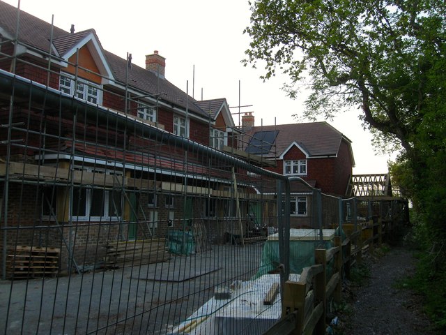
Image: © Simon Carey Taken: 16 May 2014
An infill development of two pairs of semi-detached homes that lie between Image to the west and Image to the east. The footpath on the right continues northwards to Sayers Common.
Images are licensed for reuse under creativecommons.org/licenses/by-sa/2.0
Image Location
Latitude
50.937688
Longitude
-0.201569