Wollrig
Introduction
The photograph on this page of Wollrig by Richard Webb as part of the Geograph project.
The Geograph project started in 2005 with the aim of publishing, organising and preserving representative images for every square kilometre of Great Britain, Ireland and the Isle of Man.

There are currently over 7.5m images from over 14,400 individuals and you can help contribute to the project by visiting https://www.geograph.org.uk
Wollrig
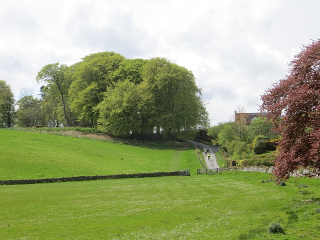
Image: © Richard Webb Taken: 11 May 2014
Bikes on the climb carried numbers, another of the now common organised rides. I have yet to brave this side of the climb but have crossed the pass by an offroad route. It's a long way up.
Images are licensed for reuse under creativecommons.org/licenses/by-sa/2.0
Image Location
Latitude
55.494321
Longitude
-2.863527