Belfast - City Centre - City Hall - West & South Sides
Introduction
The photograph on this page of Belfast - City Centre - City Hall - West & South Sides by Suzanne Mischyshyn as part of the Geograph project.
The Geograph project started in 2005 with the aim of publishing, organising and preserving representative images for every square kilometre of Great Britain, Ireland and the Isle of Man.

There are currently over 7.5m images from over 14,400 individuals and you can help contribute to the project by visiting https://www.geograph.org.uk
Belfast - City Centre - City Hall - West & South Sides
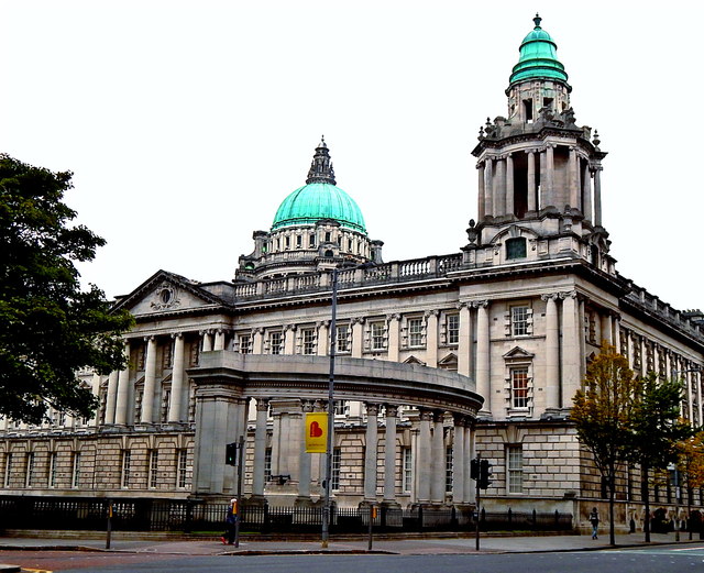
Image: © Suzanne Mischyshyn Taken: 23 Sep 2013
View is to the northeast from the south side of Howard Street at the intersection of Howard Street with Donegall Square W to the north and Bedford Street to the south..
Images are licensed for reuse under creativecommons.org/licenses/by-sa/2.0
Image Location
Latitude
54.595985
Longitude
-5.93076