Oakshawford Bridge
Introduction
The photograph on this page of Oakshawford Bridge by G Laird as part of the Geograph project.
The Geograph project started in 2005 with the aim of publishing, organising and preserving representative images for every square kilometre of Great Britain, Ireland and the Isle of Man.

There are currently over 7.5m images from over 14,400 individuals and you can help contribute to the project by visiting https://www.geograph.org.uk
Oakshawford Bridge
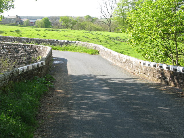
Image: © G Laird Taken: 13 May 2014
The bridge carries the B6318, the longest B-road in the United Kingdom from Heddon-on-the-Wall to Langholm, across the Black Lyne. Down river from this point, at the confluence of the Black Lyne and White Lyne, the 2 rivers form the River Lyne.
Images are licensed for reuse under creativecommons.org/licenses/by-sa/2.0
Image Location


Leaflet Map data © OpenStreetMap
Latitude
55.07866
Longitude
-2.76417