Farm track crossing cycle route
Introduction
The photograph on this page of Farm track crossing cycle route by Lairich Rig as part of the Geograph project.
The Geograph project started in 2005 with the aim of publishing, organising and preserving representative images for every square kilometre of Great Britain, Ireland and the Isle of Man.

There are currently over 7.5m images from over 14,400 individuals and you can help contribute to the project by visiting https://www.geograph.org.uk
Farm track crossing cycle route
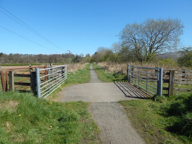
Image: © Lairich Rig Taken: 18 Apr 2014
The path receding into the distance is part of a cycle route (NCN 7) and is also on the John Muir Way. At this point and about 30 metres behind the photographer's position the cycle route is crossed by farm tracks associated with nearby Spittal Farm.
Images are licensed for reuse under creativecommons.org/licenses/by-sa/2.0
Image Location
Latitude
56.045921
Longitude
-4.441032