Bridleway down to Hangar Mill
Introduction
The photograph on this page of Bridleway down to Hangar Mill by jeff collins as part of the Geograph project.
The Geograph project started in 2005 with the aim of publishing, organising and preserving representative images for every square kilometre of Great Britain, Ireland and the Isle of Man.

There are currently over 7.5m images from over 14,400 individuals and you can help contribute to the project by visiting https://www.geograph.org.uk
Bridleway down to Hangar Mill
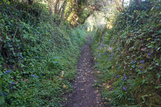
Image: © jeff collins Taken: 14 May 2014
The path is much clearer now.
Images are licensed for reuse under creativecommons.org/licenses/by-sa/2.0
Image Location
Latitude
50.236676
Longitude
-3.78303