Golberdon
Introduction
The photograph on this page of Golberdon by Derek Harper as part of the Geograph project.
The Geograph project started in 2005 with the aim of publishing, organising and preserving representative images for every square kilometre of Great Britain, Ireland and the Isle of Man.

There are currently over 7.5m images from over 14,400 individuals and you can help contribute to the project by visiting https://www.geograph.org.uk
Golberdon
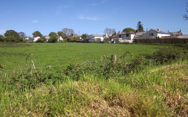
Image: © Derek Harper Taken: 14 May 2014
From footpath 638/13/1 as it runs past Moorland View, and showing the rears of properties on the lane through the hamlet.
Images are licensed for reuse under creativecommons.org/licenses/by-sa/2.0
Image Location


Leaflet Map data © OpenStreetMap
Latitude
50.516617
Longitude
-4.361205