Peafield Farm and view to Mansfield
Introduction
The photograph on this page of Peafield Farm and view to Mansfield by Andrew Hill as part of the Geograph project.
The Geograph project started in 2005 with the aim of publishing, organising and preserving representative images for every square kilometre of Great Britain, Ireland and the Isle of Man.

There are currently over 7.5m images from over 14,400 individuals and you can help contribute to the project by visiting https://www.geograph.org.uk
Peafield Farm and view to Mansfield
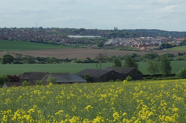
Image: © Andrew Hill Taken: 15 May 2014
View near the start of the path by Peafield Plantation. Sandlands Way and the superstore can be seen.
Images are licensed for reuse under creativecommons.org/licenses/by-sa/2.0
Image Location
Latitude
53.172849
Longitude
-1.160235