Woolsthorpe Lane
Introduction
The photograph on this page of Woolsthorpe Lane by Richard Croft as part of the Geograph project.
The Geograph project started in 2005 with the aim of publishing, organising and preserving representative images for every square kilometre of Great Britain, Ireland and the Isle of Man.

There are currently over 7.5m images from over 14,400 individuals and you can help contribute to the project by visiting https://www.geograph.org.uk
Woolsthorpe Lane
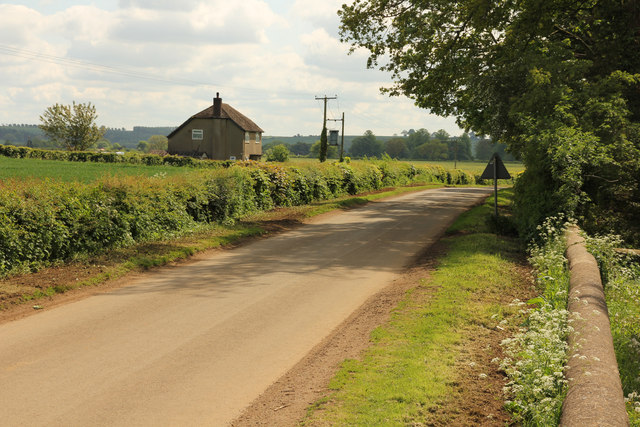
Image: © Richard Croft Taken: 15 May 2014
NCN route 64 on Woolsthorpe Lane looking south towards Castle Farm Cottage from the old churchyard
Images are licensed for reuse under creativecommons.org/licenses/by-sa/2.0
Image Location
Latitude
52.887315
Longitude
-0.756749