Pipeline across the Ribble
Introduction
The photograph on this page of Pipeline across the Ribble by Steve Houldsworth as part of the Geograph project.
The Geograph project started in 2005 with the aim of publishing, organising and preserving representative images for every square kilometre of Great Britain, Ireland and the Isle of Man.

There are currently over 7.5m images from over 14,400 individuals and you can help contribute to the project by visiting https://www.geograph.org.uk
Pipeline across the Ribble
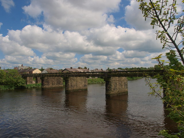
Image: © Steve Houldsworth Taken: 13 May 2014
The bridge structure seen from the original Penwortham bridge carries a pipeline across the river.
Images are licensed for reuse under creativecommons.org/licenses/by-sa/2.0
Image Location
Latitude
53.748583
Longitude
-2.713584