Four-storey housing at Warland
Introduction
The photograph on this page of Four-storey housing at Warland by Christine Johnstone as part of the Geograph project.
The Geograph project started in 2005 with the aim of publishing, organising and preserving representative images for every square kilometre of Great Britain, Ireland and the Isle of Man.

There are currently over 7.5m images from over 14,400 individuals and you can help contribute to the project by visiting https://www.geograph.org.uk
Four-storey housing at Warland
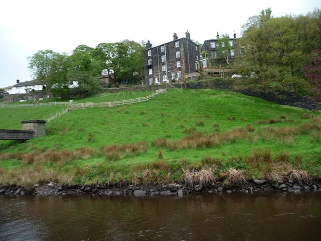
Image: © Christine Johnstone Taken: 6 May 2014
Probably built as two two-storey terraces on top of each other, with lower street access on this side, and higher street access on the other.
Images are licensed for reuse under creativecommons.org/licenses/by-sa/2.0
Image Location
Latitude
53.678685
Longitude
-2.083832