St Mary's Abbey from Reculver Country Park
Introduction
The photograph on this page of St Mary's Abbey from Reculver Country Park by Marathon as part of the Geograph project.
The Geograph project started in 2005 with the aim of publishing, organising and preserving representative images for every square kilometre of Great Britain, Ireland and the Isle of Man.

There are currently over 7.5m images from over 14,400 individuals and you can help contribute to the project by visiting https://www.geograph.org.uk
St Mary's Abbey from Reculver Country Park
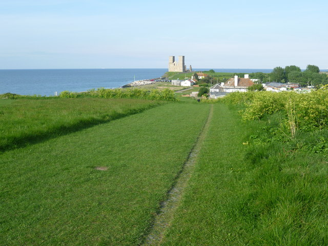
Image: © Marathon Taken: 4 May 2014
In 1809 the Vicar of the parish demolished all of St Mary's Abbey on the cliff top at Reculver, apart from the towers. Trinity House intervened to ensure that the towers were preserved as a navigational aid. This is the view from Reculver Country Park. For a full history of the Roman settlement, the building of St Mary's Abbey and its demolition see http://en.wikipedia.org/wiki/Reculver
Images are licensed for reuse under creativecommons.org/licenses/by-sa/2.0
Image Location
Latitude
51.377258
Longitude
1.191743