The Manor House, Frenchay
Introduction
The photograph on this page of The Manor House, Frenchay by Jaggery as part of the Geograph project.
The Geograph project started in 2005 with the aim of publishing, organising and preserving representative images for every square kilometre of Great Britain, Ireland and the Isle of Man.

There are currently over 7.5m images from over 14,400 individuals and you can help contribute to the project by visiting https://www.geograph.org.uk
The Manor House, Frenchay
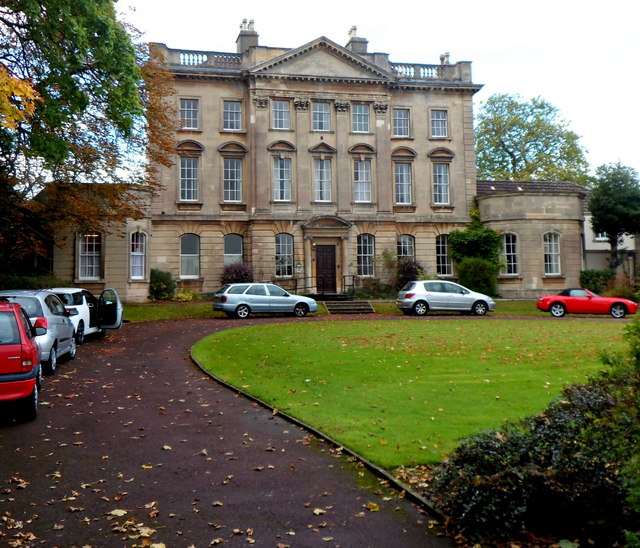
Image: © Jaggery Taken: 18 Oct 2012
The Manor House is set back 35 metres from the west side of Beckspool Road. Built as a house in 1736, now a residential and respite care home for adults. Grade II* listed in 1952.
Images are licensed for reuse under creativecommons.org/licenses/by-sa/2.0
Image Location
Latitude
51.50069
Longitude
-2.518294