The end of Oolite Grove
Introduction
The photograph on this page of The end of Oolite Grove by HelenK as part of the Geograph project.
The Geograph project started in 2005 with the aim of publishing, organising and preserving representative images for every square kilometre of Great Britain, Ireland and the Isle of Man.

There are currently over 7.5m images from over 14,400 individuals and you can help contribute to the project by visiting https://www.geograph.org.uk
The end of Oolite Grove
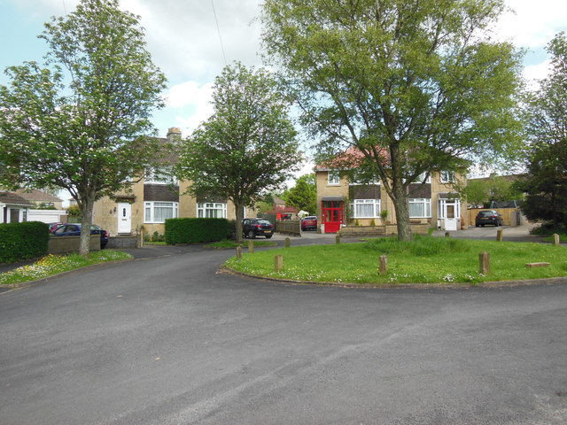
Image: © HelenK Taken: 15 May 2014
This unexceptional suburban cul-de-sac bears what is surely Bath's best street name. Oolite Grove has supplied the title of a track by Ozric Tentacles. Dictionaries say that the first word should be pronounced as three syllables, but in practice it is always 'oooh-light'. Bath is built on and of it.
Images are licensed for reuse under creativecommons.org/licenses/by-sa/2.0
Image Location
Latitude
51.356014
Longitude
-2.377357