View north over Crookbank Farm
Introduction
The photograph on this page of View north over Crookbank Farm by Robert Graham as part of the Geograph project.
The Geograph project started in 2005 with the aim of publishing, organising and preserving representative images for every square kilometre of Great Britain, Ireland and the Isle of Man.

There are currently over 7.5m images from over 14,400 individuals and you can help contribute to the project by visiting https://www.geograph.org.uk
View north over Crookbank Farm
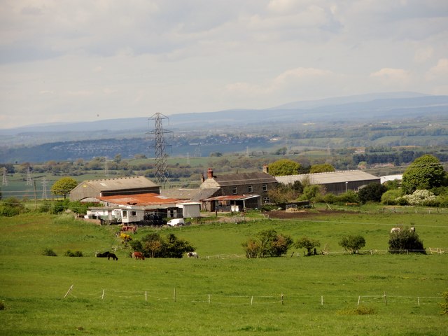
Image: © Robert Graham Taken: 14 May 2014
View from Barcusclose Lane, east of Crookgate. The lane runs along the top of a ridge here and gives fantastic views to the north. The big hummock in the far distance on the right hand side of the photo is actually The Cheviot. It must be a good 50 miles away from here.
Images are licensed for reuse under creativecommons.org/licenses/by-sa/2.0
Image Location


Leaflet Map data © OpenStreetMap
Latitude
54.906214
Longitude
-1.715344