Junction, Bryn Awelon Road near Beaufort
Introduction
The photograph on this page of Junction, Bryn Awelon Road near Beaufort by Jaggery as part of the Geograph project.
The Geograph project started in 2005 with the aim of publishing, organising and preserving representative images for every square kilometre of Great Britain, Ireland and the Isle of Man.

There are currently over 7.5m images from over 14,400 individuals and you can help contribute to the project by visiting https://www.geograph.org.uk
Junction, Bryn Awelon Road near Beaufort
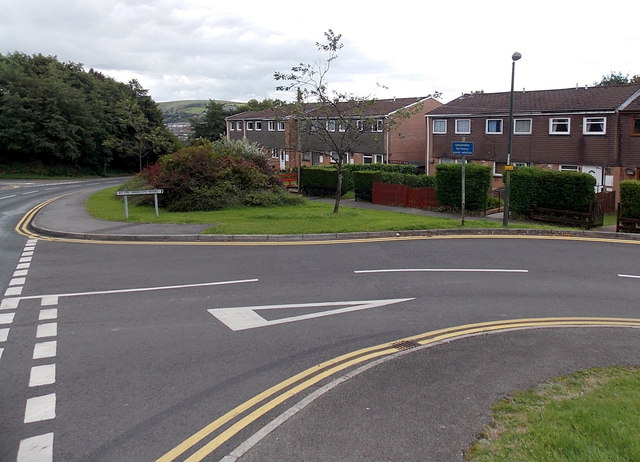
Image: © Jaggery Taken: 10 Sep 2013
Viewed from the corner of the road descending from Beaufort to Ebbw Vale. The street name sign shows Bryn Awelon Road whereas various maps show only Bryn Awelon. A dark blue sign shows Unsuitable for heavy goods vehicles.
Images are licensed for reuse under creativecommons.org/licenses/by-sa/2.0
Image Location
Latitude
51.792829
Longitude
-3.203992