Valleys Cycle Network, Ebbw Vale
Introduction
The photograph on this page of Valleys Cycle Network, Ebbw Vale by Jaggery as part of the Geograph project.
The Geograph project started in 2005 with the aim of publishing, organising and preserving representative images for every square kilometre of Great Britain, Ireland and the Isle of Man.

There are currently over 7.5m images from over 14,400 individuals and you can help contribute to the project by visiting https://www.geograph.org.uk
Valleys Cycle Network, Ebbw Vale
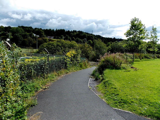
Image: © Jaggery Taken: 10 Sep 2013
A footpath and cycleway head SE towards the valley of the Ebbw River, away from Beaufort Road. A large sign nearby shows that this route is part of the Valleys Cycle Network and also the National Cycle Network (routes 46 and 466).
Images are licensed for reuse under creativecommons.org/licenses/by-sa/2.0
Image Location
Latitude
51.787495
Longitude
-3.206895