Wigman Road: BISF houses
Introduction
The photograph on this page of Wigman Road: BISF houses by John Sutton as part of the Geograph project.
The Geograph project started in 2005 with the aim of publishing, organising and preserving representative images for every square kilometre of Great Britain, Ireland and the Isle of Man.

There are currently over 7.5m images from over 14,400 individuals and you can help contribute to the project by visiting https://www.geograph.org.uk
Wigman Road: BISF houses
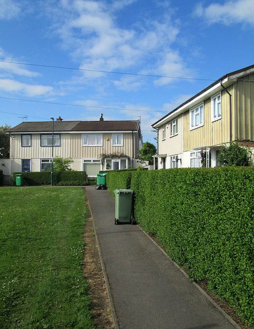
Image: © John Sutton Taken: 13 May 2014
These steel-framed prefabricated council houses are some of the many erected in Bilborough in the years after the Second World War. For the history of BISF houses, see http://en.wikipedia.org/wiki/BISF_house .
Images are licensed for reuse under creativecommons.org/licenses/by-sa/2.0
Image Location
Latitude
52.964048
Longitude
-1.215949