The road to Cefn
Introduction
The photograph on this page of The road to Cefn by Nigel Brown as part of the Geograph project.
The Geograph project started in 2005 with the aim of publishing, organising and preserving representative images for every square kilometre of Great Britain, Ireland and the Isle of Man.

There are currently over 7.5m images from over 14,400 individuals and you can help contribute to the project by visiting https://www.geograph.org.uk
The road to Cefn
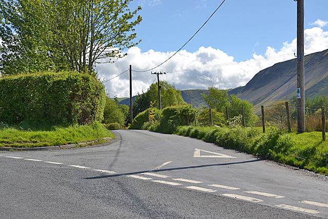
Image: © Nigel Brown Taken: 13 May 2014
A minor road serving a farm and houses forming part of Pennant. The B4518 is wide here, to allow turning of buses and other vehicles which could find the narrow road south awkward.
Images are licensed for reuse under creativecommons.org/licenses/by-sa/2.0
Image Location


Leaflet Map data © OpenStreetMap
Latitude
52.56379
Longitude
-3.651961