Paice Lane
Introduction
The photograph on this page of Paice Lane by Robin Webster as part of the Geograph project.
The Geograph project started in 2005 with the aim of publishing, organising and preserving representative images for every square kilometre of Great Britain, Ireland and the Isle of Man.

There are currently over 7.5m images from over 14,400 individuals and you can help contribute to the project by visiting https://www.geograph.org.uk
Paice Lane
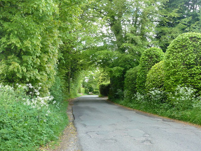
Image: © Robin Webster Taken: 13 May 2014
Running from South Town to West End in the parish of Medstead, with several houses.
Images are licensed for reuse under creativecommons.org/licenses/by-sa/2.0
Image Location
Latitude
51.117354
Longitude
-1.071868