Bridleway, Easdon Down
Introduction
The photograph on this page of Bridleway, Easdon Down by Derek Harper as part of the Geograph project.
The Geograph project started in 2005 with the aim of publishing, organising and preserving representative images for every square kilometre of Great Britain, Ireland and the Isle of Man.

There are currently over 7.5m images from over 14,400 individuals and you can help contribute to the project by visiting https://www.geograph.org.uk
Bridleway, Easdon Down
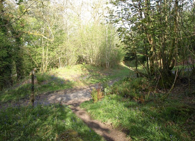
Image: © Derek Harper Taken: 9 May 2014
North Bovey Bridleway 12 crosses this track, turning left and right and plunging back into woodland.
Images are licensed for reuse under creativecommons.org/licenses/by-sa/2.0
Image Location
Latitude
50.631824
Longitude
-3.780124