Southern end of St Mary's Lane, Ludlow
Introduction
The photograph on this page of Southern end of St Mary's Lane, Ludlow by Jaggery as part of the Geograph project.
The Geograph project started in 2005 with the aim of publishing, organising and preserving representative images for every square kilometre of Great Britain, Ireland and the Isle of Man.

There are currently over 7.5m images from over 14,400 individuals and you can help contribute to the project by visiting https://www.geograph.org.uk
Southern end of St Mary's Lane, Ludlow
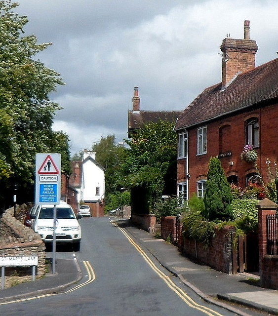
Image: © Jaggery Taken: 22 Aug 2012
Viewed from Corve Street. About 120 metres ahead, at the edge of a railway, the course of St Mary's Lane changes abruptly from heading northeastwards to heading westwards. The blue sign shows TIGHT BEND AHEAD and UNSUITABLE FOR LONG VEHICLES.
Images are licensed for reuse under creativecommons.org/licenses/by-sa/2.0
Image Location


Leaflet Map data © OpenStreetMap
Latitude
52.373188
Longitude
-2.7197