Southwell from the south east
Introduction
The photograph on this page of Southwell from the south east by Richard Vince as part of the Geograph project.
The Geograph project started in 2005 with the aim of publishing, organising and preserving representative images for every square kilometre of Great Britain, Ireland and the Isle of Man.

There are currently over 7.5m images from over 14,400 individuals and you can help contribute to the project by visiting https://www.geograph.org.uk
Southwell from the south east
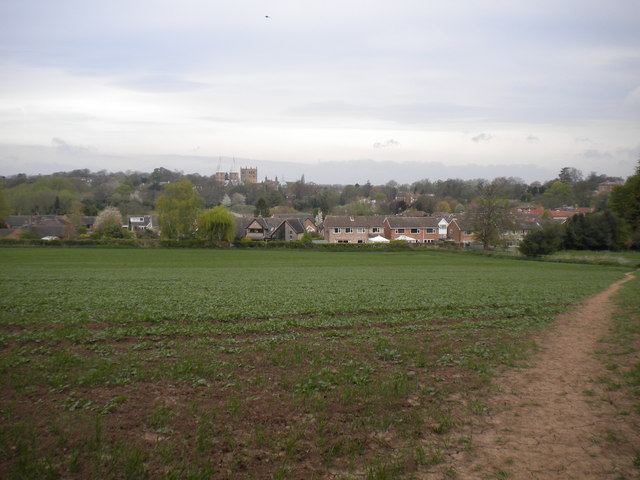
Image: © Richard Vince Taken: 17 Apr 2014
A view from a footpath that heads south east from Southwell towards Park Farm. The houses nearest to the camera are on Fathingate Close, while the towers of Southwell Minster can be seen on the horizon.
Images are licensed for reuse under creativecommons.org/licenses/by-sa/2.0
Image Location
Latitude
53.0739
Longitude
-0.948116