Road junction near Lochend
Introduction
The photograph on this page of Road junction near Lochend by Lairich Rig as part of the Geograph project.
The Geograph project started in 2005 with the aim of publishing, organising and preserving representative images for every square kilometre of Great Britain, Ireland and the Isle of Man.

There are currently over 7.5m images from over 14,400 individuals and you can help contribute to the project by visiting https://www.geograph.org.uk
Road junction near Lochend
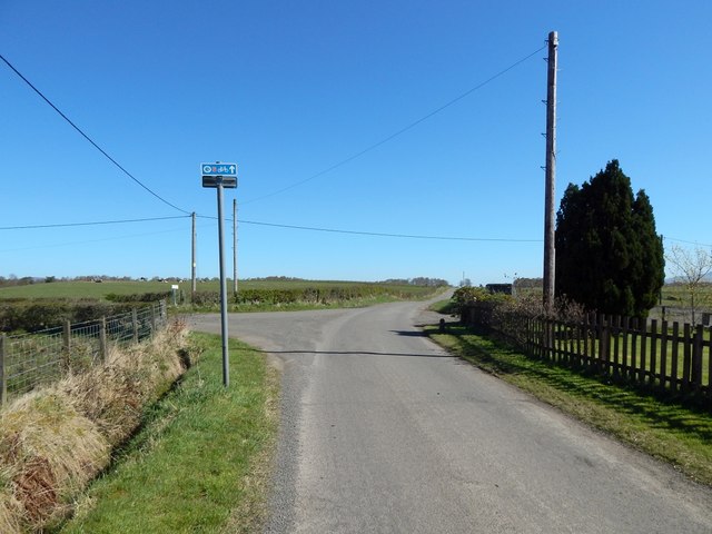
Image: © Lairich Rig Taken: 18 Apr 2014
Branching off to the left is a short road leading to Lochend. The sign near the junction indicates that NCN 7 and the John Muir Way continue straight ahead.
Images are licensed for reuse under creativecommons.org/licenses/by-sa/2.0
Image Location
Latitude
56.017423
Longitude
-4.530537