Path by Bayswater Farm
Introduction
The photograph on this page of Path by Bayswater Farm by Bill Boaden as part of the Geograph project.
The Geograph project started in 2005 with the aim of publishing, organising and preserving representative images for every square kilometre of Great Britain, Ireland and the Isle of Man.

There are currently over 7.5m images from over 14,400 individuals and you can help contribute to the project by visiting https://www.geograph.org.uk
Path by Bayswater Farm
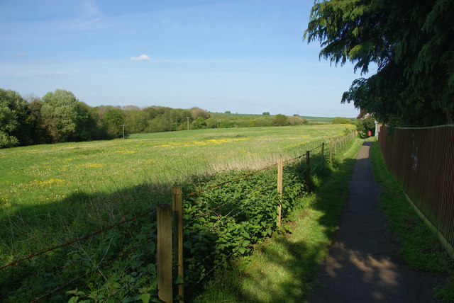
Image: © Bill Boaden Taken: 3 May 2014
This is the edge of the Oxford conurbation, with housing development behind the fence to the right.
Images are licensed for reuse under creativecommons.org/licenses/by-sa/2.0
Image Location
Latitude
51.765786
Longitude
-1.18543