Methodist Church, Shirehampton
Introduction
The photograph on this page of Methodist Church, Shirehampton by Derek Harper as part of the Geograph project.
The Geograph project started in 2005 with the aim of publishing, organising and preserving representative images for every square kilometre of Great Britain, Ireland and the Isle of Man.

There are currently over 7.5m images from over 14,400 individuals and you can help contribute to the project by visiting https://www.geograph.org.uk
Methodist Church, Shirehampton
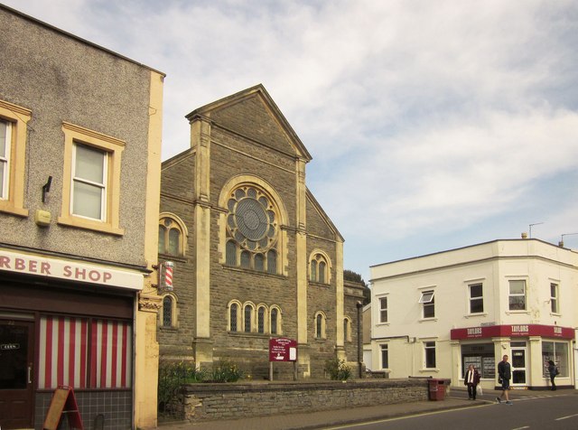
Image: © Derek Harper Taken: 29 Mar 2014
Seen from the other direction in Image A Wesleyan chapel is shown here on an 1883 map.
Images are licensed for reuse under creativecommons.org/licenses/by-sa/2.0
Image Location
Latitude
51.489188
Longitude
-2.675732