Derelict site at the edge of Trecynon
Introduction
The photograph on this page of Derelict site at the edge of Trecynon by Jaggery as part of the Geograph project.
The Geograph project started in 2005 with the aim of publishing, organising and preserving representative images for every square kilometre of Great Britain, Ireland and the Isle of Man.

There are currently over 7.5m images from over 14,400 individuals and you can help contribute to the project by visiting https://www.geograph.org.uk
Derelict site at the edge of Trecynon
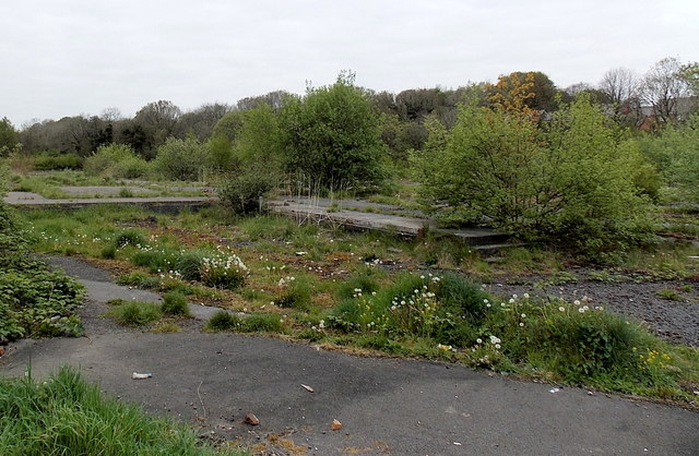
Image: © Jaggery Taken: 3 May 2014
Trees and weeds grow on the base of demolished buildings located between a side road, Gelli Isaf, and a river, Afon Cynon. In view is a section of the site which measures about 150 metres by 90 metres.
Images are licensed for reuse under creativecommons.org/licenses/by-sa/2.0
Image Location
Latitude
51.727262
Longitude
-3.459544