Play area by Beachley Walk Centre
Introduction
The photograph on this page of Play area by Beachley Walk Centre by Derek Harper as part of the Geograph project.
The Geograph project started in 2005 with the aim of publishing, organising and preserving representative images for every square kilometre of Great Britain, Ireland and the Isle of Man.

There are currently over 7.5m images from over 14,400 individuals and you can help contribute to the project by visiting https://www.geograph.org.uk
Play area by Beachley Walk Centre
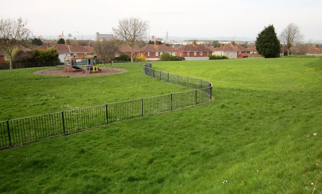
Image: © Derek Harper Taken: 29 Mar 2014
Seen from footpath BCC/65/10, linking Beachley Walk and Lower High Street. The houses beyond are on Old Park Road.
Images are licensed for reuse under creativecommons.org/licenses/by-sa/2.0
Image Location
Latitude
51.491847
Longitude
-2.682397