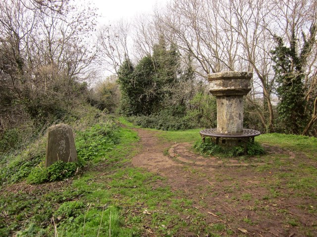
Penpole Compass Dial
Introduction
The photograph on this page of Penpole Compass Dial by Derek Harper as part of the Geograph project.
The Geograph project started in 2005 with the aim of publishing, organising and preserving representative images for every square kilometre of Great Britain, Ireland and the Isle of Man.
There are currently over 7.5m images from over 14,400 individuals and you can help contribute to the project by visiting https://www.geograph.org.uk

Image: © Derek Harper Taken: 29 Mar 2014
http://maps.bristol.gov.uk/knowyourplace/?service=HER&maptype=js&layer=Community+layer&mapbase=aerial&extent=635.3981457962655&x=353185.0768415931&y=177300.15685135845 describes this as "a nineteenth century sundial composed of bath freestone with a circular lattice work cast-iron bench ... 'Dec 1823' can be made out on the western face". But the same site suggests at http://www.kwag.org.uk/explore/penpole-wood-and-penpole-point/ it is four hundred years old and an ancient marker used by shipping. The listed building description goes with the first interpretation http://list.english-heritage.org.uk/resultsingle.aspx?uid=1202440&searchtype=mapsearch . On the left is a trig point. This is on bridleway BCC/63/10 .

