Footbridge over Handale Beck
Introduction
The photograph on this page of Footbridge over Handale Beck by Martin Dawes as part of the Geograph project.
The Geograph project started in 2005 with the aim of publishing, organising and preserving representative images for every square kilometre of Great Britain, Ireland and the Isle of Man.

There are currently over 7.5m images from over 14,400 individuals and you can help contribute to the project by visiting https://www.geograph.org.uk
Footbridge over Handale Beck
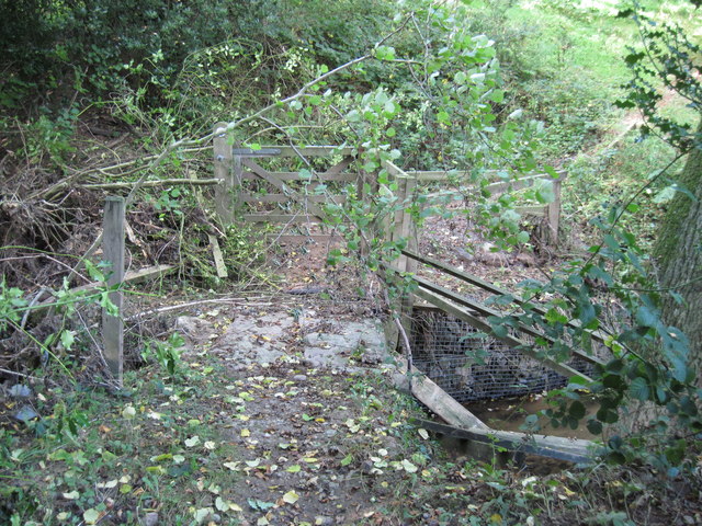
Image: © Martin Dawes Taken: 9 Oct 2013
The debris and uprooted tree are from the flood after torrential rain in the area on Friday 6/9/13.This is on the bridleway from Liverton to Grinkle Lane.
Images are licensed for reuse under creativecommons.org/licenses/by-sa/2.0
Image Location


Leaflet Map data © OpenStreetMap
Latitude
54.531052
Longitude
-0.882572