Looking east along Coggeshall Road (A120)
Introduction
The photograph on this page of Looking east along Coggeshall Road (A120) by John Baker as part of the Geograph project.
The Geograph project started in 2005 with the aim of publishing, organising and preserving representative images for every square kilometre of Great Britain, Ireland and the Isle of Man.

There are currently over 7.5m images from over 14,400 individuals and you can help contribute to the project by visiting https://www.geograph.org.uk
Looking east along Coggeshall Road (A120)
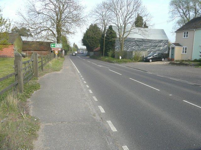
Image: © John Baker Taken: 2 Apr 2014
The side of the barn, on the right, has had a layer of grey polythene sheeting added. The next turning left is signposted Great Tey.
Images are licensed for reuse under creativecommons.org/licenses/by-sa/2.0
Image Location


Leaflet Map data © OpenStreetMap
Latitude
51.876859
Longitude
0.752155