Port Charlotte from the south
Introduction
The photograph on this page of Port Charlotte from the south by Rob Farrow as part of the Geograph project.
The Geograph project started in 2005 with the aim of publishing, organising and preserving representative images for every square kilometre of Great Britain, Ireland and the Isle of Man.

There are currently over 7.5m images from over 14,400 individuals and you can help contribute to the project by visiting https://www.geograph.org.uk
Port Charlotte from the south
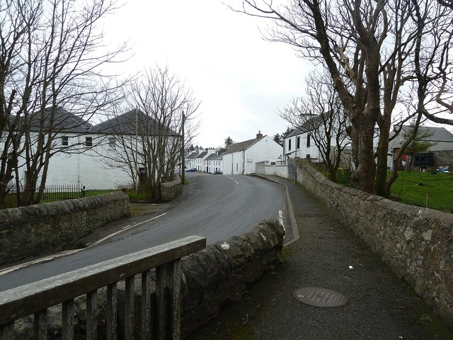
Image: © Rob Farrow Taken: 9 Apr 2014
A view of the southern end of Port Charlotte taken from the little bridge (with separated footpath) over Image] According to the map, the large building on the left is a Youth Hostel.
Images are licensed for reuse under creativecommons.org/licenses/by-sa/2.0
Image Location
Latitude
55.741146
Longitude
-6.379112