Gilbert's Pit, Maryon Park, Charlton SE7
Introduction
The photograph on this page of Gilbert's Pit, Maryon Park, Charlton SE7 by David Hallam-Jones as part of the Geograph project.
The Geograph project started in 2005 with the aim of publishing, organising and preserving representative images for every square kilometre of Great Britain, Ireland and the Isle of Man.

There are currently over 7.5m images from over 14,400 individuals and you can help contribute to the project by visiting https://www.geograph.org.uk
Gilbert's Pit, Maryon Park, Charlton SE7
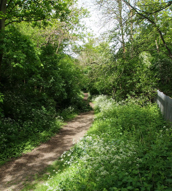
Image: © David Hallam-Jones Taken: 4 May 2014
This footpath is descending towards the lowest part of the Gilbert's Pit SSI area (Area of Special Scientific Interest) behind the photographer. The path seen here forms the long shaft of a T-shape figure with the imaginary cross bar of the letter T being a flight of steps (ahead but out of sight) that rise up to the summit of Cox's Mount from a gate on Charlton Lane, adjacent to the Charlton Lane railway crossing.
Images are licensed for reuse under creativecommons.org/licenses/by-sa/2.0
Image Location
Latitude
51.489133
Longitude
0.040004