Anchor Burn, Dunipace
Introduction
The photograph on this page of Anchor Burn, Dunipace by David Neill as part of the Geograph project.
The Geograph project started in 2005 with the aim of publishing, organising and preserving representative images for every square kilometre of Great Britain, Ireland and the Isle of Man.

There are currently over 7.5m images from over 14,400 individuals and you can help contribute to the project by visiting https://www.geograph.org.uk
Anchor Burn, Dunipace
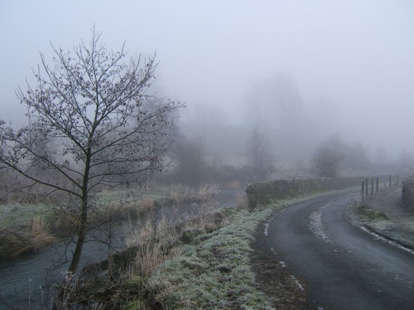
Image: © David Neill Taken: 4 Jan 2006
The Anchor Burn and minor road beyond the foot of Milton Row, on a very cold January morning.
Images are licensed for reuse under creativecommons.org/licenses/by-sa/2.0
Image Location
Latitude
56.028695
Longitude
-3.909502