St Elizabeth's, Knowle
Introduction
The photograph on this page of St Elizabeth's, Knowle by Derek Harper as part of the Geograph project.
The Geograph project started in 2005 with the aim of publishing, organising and preserving representative images for every square kilometre of Great Britain, Ireland and the Isle of Man.

There are currently over 7.5m images from over 14,400 individuals and you can help contribute to the project by visiting https://www.geograph.org.uk
St Elizabeth's, Knowle
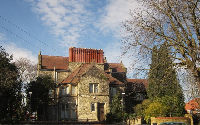
Image: © Derek Harper Taken: 15 Mar 2014
The Jacobethan style building, with an extraordinary "brick chimney range of diagonal stacks", dates from about 1900 and is described at http://list.english-heritage.org.uk/resultsingle.aspx?uid=1202483&searchtype=mapsearch . The building is currently a House in Multiple Occupation. The view is from Redcatch Road, but is likely to be reduced when a planned house https://www.bristol.gov.uk/committee/2013/wa/wa003/0918_8-1.pdf is built on a vacant lot in the foreground.
Images are licensed for reuse under creativecommons.org/licenses/by-sa/2.0
Image Location
Latitude
51.435497
Longitude
-2.576826